Skip to content

Projects

Notable projects

Work delivered across four continents — from gold prospectivity models in the United States to fiber networks in Saudi Arabia and river carbon research in the United Kingdom.

Case 01

ML-Based Mineral Exploration Platform

Mineral Explorer · USA

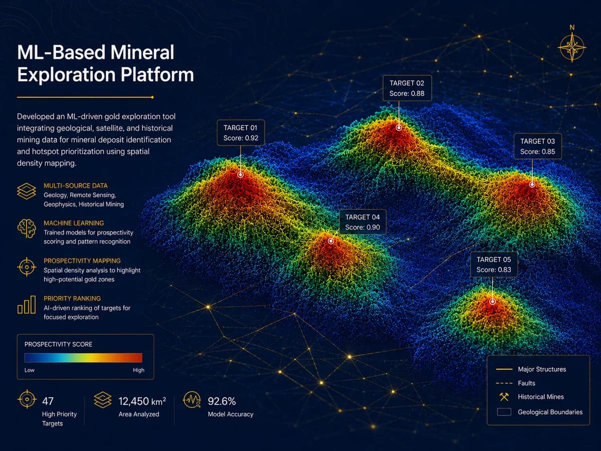
Developed an ML-driven gold exploration tool integrating geological, satellite, and historical mining data for mineral deposit identification and hotspot prioritization using spatial density mapping.

AI & Data Intelligence

High-priority targets
47High-priority targets
Area analyzed
12,450 km²Area analyzed
Model accuracy
92.6%Model accuracy
ML-Based Mineral Exploration Platform for Mineral Explorer, USA — project overview

Case 02

Urban Planning Data Conversion & 3D Modeling

X Architects · UAE

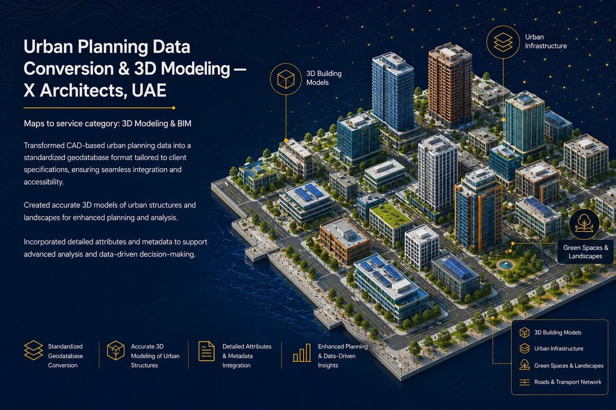
Transformed CAD-based urban planning data into a standardized geodatabase format tailored to client specifications, ensuring seamless integration and accessibility. Created accurate 3D models of urban structures and landscapes for enhanced planning and analysis, and incorporated detailed attributes and metadata to support advanced analysis and data-driven decision-making.

3D Modeling & BIM

Urban Planning Data Conversion & 3D Modeling for X Architects, UAE — project overview

Case 03

Real Estate GIS & Proximity Analysis Platform

DL King · USA

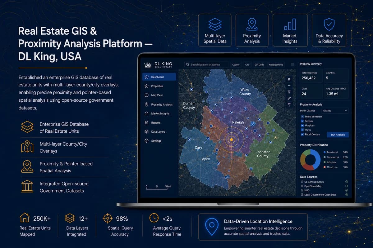
Established an enterprise GIS database of real estate units with multi-layer county/city overlays, enabling precise proximity and pointer-based spatial analysis using open-source government datasets.

GIS & Spatial Analytics

Real estate units mapped
250K+Real estate units mapped
Data layers integrated
12+Data layers integrated
Spatial query accuracy
98%Spatial query accuracy
Real Estate GIS & Proximity Analysis Platform for DL King, USA — project overview

Case 04

FTTH Planning and Mapping

Mobily · Saudi Arabia

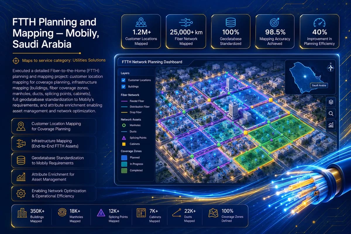
Executed a detailed Fiber-to-the-Home (FTTH) planning and mapping project: customer location mapping for coverage planning, infrastructure mapping (buildings, fiber coverage zones, manholes, ducts, splicing points, cabinets), full geodatabase standardization to Mobily's requirements, and attribute enrichment enabling asset management and network optimization.

Utilities Solutions

Customer locations mapped
1.2M+Customer locations mapped
Buildings mapped
350K+Buildings mapped
Fiber network km mapped
25,000+Fiber network km mapped
FTTH Planning and Mapping for Mobily, Saudi Arabia — project overview

Case 05

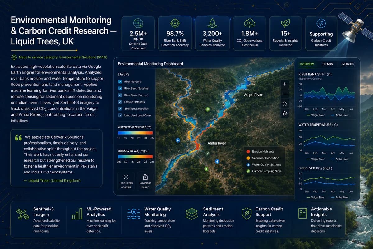
Environmental Monitoring & Carbon Credit Research

Liquid Trees · UK

Extracted high-resolution satellite data via Google Earth Engine for environmental analysis. Analyzed river bank erosion and water temperature to support flood prevention and land management. Applied machine learning for river bank shift detection and remote sensing for sediment deposition monitoring on Indian rivers. Leveraged Sentinel-3 imagery to track dissolved CO₂ concentrations in the Vaigai and Amba Rivers, contributing to carbon credit initiatives.

Remote Sensing & LiDAR

Satellite data points processed
2.5M+Satellite data points processed
River bank shift detection accuracy
98.7%River bank shift detection accuracy
Environmental Monitoring & Carbon Credit Research for Liquid Trees, UK — project overview

We appreciate GeoVarix Solutions’ professionalism, timely delivery, and collaborative spirit throughout the project. Their work has not only enhanced our research but strengthened our resolve to foster a healthier environment in Pakistan’s and India’s river ecosystems.

Liquid Trees · United Kingdom

Your project could be the next one on this page.

Start a conversation