
Services
Our spectrum of services
Our wide-ranging professional services are tailored to meet the needs of diverse clients, from individual homeowners to large-scale commercial developers.
Service 01
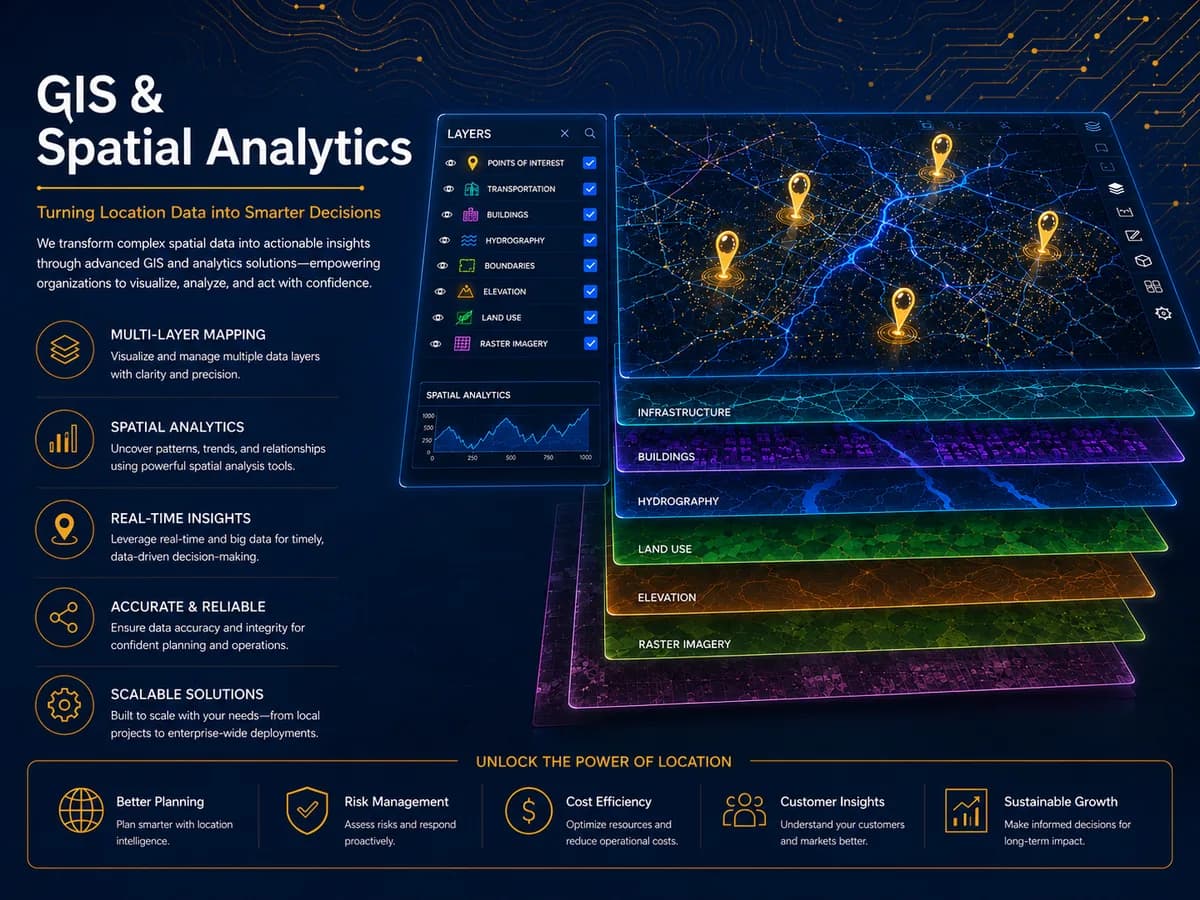
GIS & Spatial Analytics
Turning location data into smarter decisions.
- Planning Assignments
- Regional assessment for business purposes at project inception.
- Visualization
- Landscape visualization for market localization, roadway modeling, population distribution.
- Decision Making
- GIS as a query, analysis, and mapping tool supporting better decisions.
- Mapping & Conversion
- Feature extractions, facilities mapping, land-use mapping & planning, land map conversions.
You get
A project-ready geodatabase in your GIS standard, layer documentation, and a walkthrough with your team.
Service 02
AI & Data Intelligence
Statistical and spatial processing translated into action.
- Data Analysis & Insight Generation
- Feature engineering across spatial and non-spatial layers, followed by decision-ready reporting.
- Near Real-Time Data Collection
- Rapid collection and transmission for responsive decision-making.
- ML-Driven Spatial Modeling
- Machine learning applied to exploration, classification, and hotspot prioritization.
You get
A documented model, validation metrics, prediction outputs, and a report your stakeholders can read.

Service 03
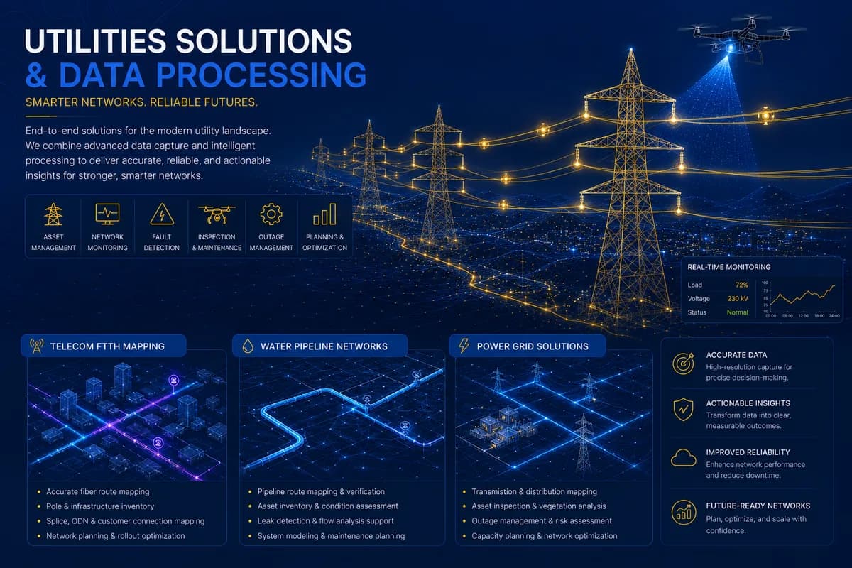
Utilities Solutions
Smarter networks, reliable futures.
- Infrastructure Mapping
- Buildings, coverage zones, manholes, ducts, splicing points, cabinets.
- Network Planning & Geodatabase Standardization
- Electricity network planning, telecom fiber planning, water network planning.
- Asset Management via Attribute Enrichment
- Enabling ongoing network optimization.
You get
Standardised network geodatabase, coverage layer, planning outputs, and an asset-attribute index.
Service 04
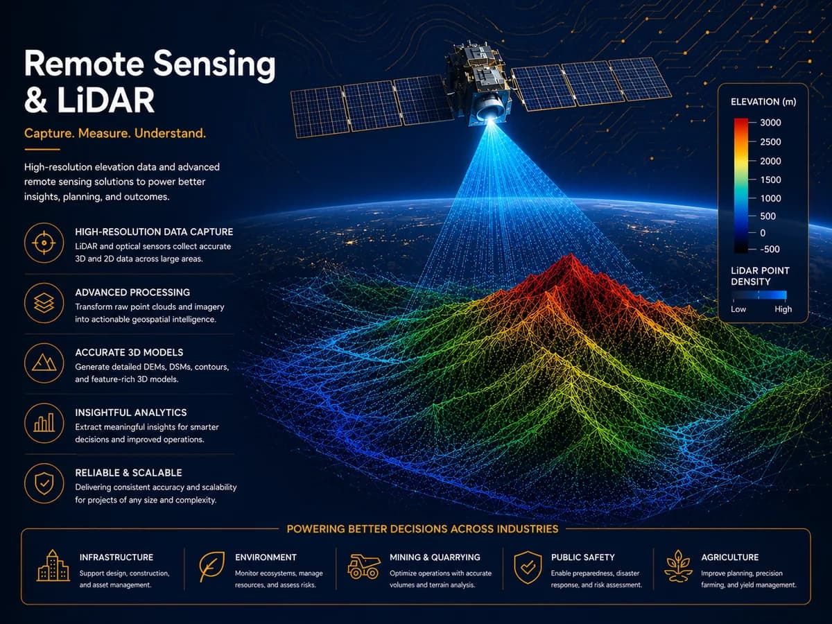
Remote Sensing & LiDAR
Capture. Measure. Understand.
- Remote Sensing
- Core satellite and sensor-based data acquisition.
- Ortho & Geo-Rectification
- Raster and satellite image ortho/geo-rectification.
- DGPS-Based Surveys
- High-precision ground-truthing.
You get
Orthorectified imagery, DGPS ground-control data, and a processing report.
Service 05
Drone Mapping
Precision from above, insights that drive.
- UAV-Based Orthomosaic Generation
- High-resolution aerial mapping for sites, fields, and infrastructure corridors.
- Drone-Based Inspection
- Infrastructure and crop-health monitoring from low-altitude imagery.
- Rapid Site Surveys
- Faster turnaround than traditional ground survey for accessible areas.
You get
High-resolution orthomosaic, elevation model, and an inspection findings report.

Service 06
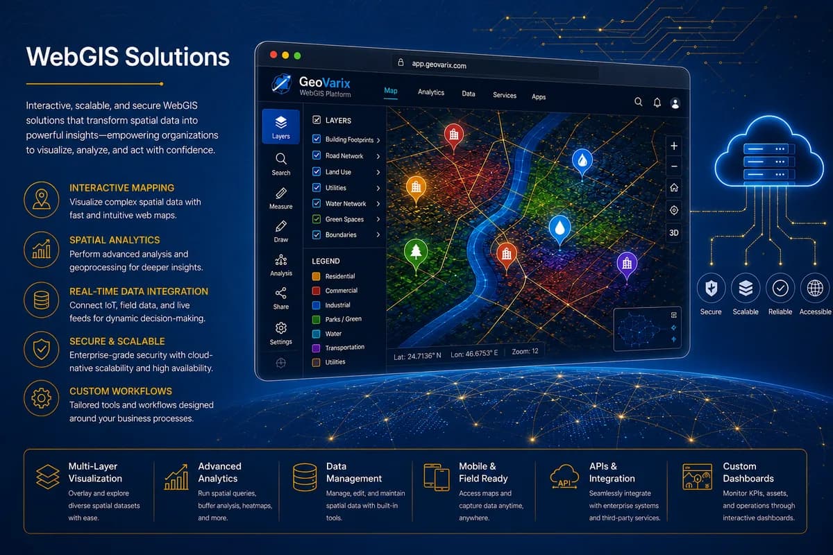
WebGIS Solutions
Interactive, scalable, secure mapping in the browser.
- Web-GIS & GIS App Development
- Interactive, browser-based mapping platforms.
- Socio-Economic Data Acquisition
- Acquired and incorporated into web-facing dashboards.
- Facilities & Asset Dashboards
- Real-time, queryable map interfaces for clients.
You get
Production-ready web portal, admin documentation, and a role-based access model.
Service 07
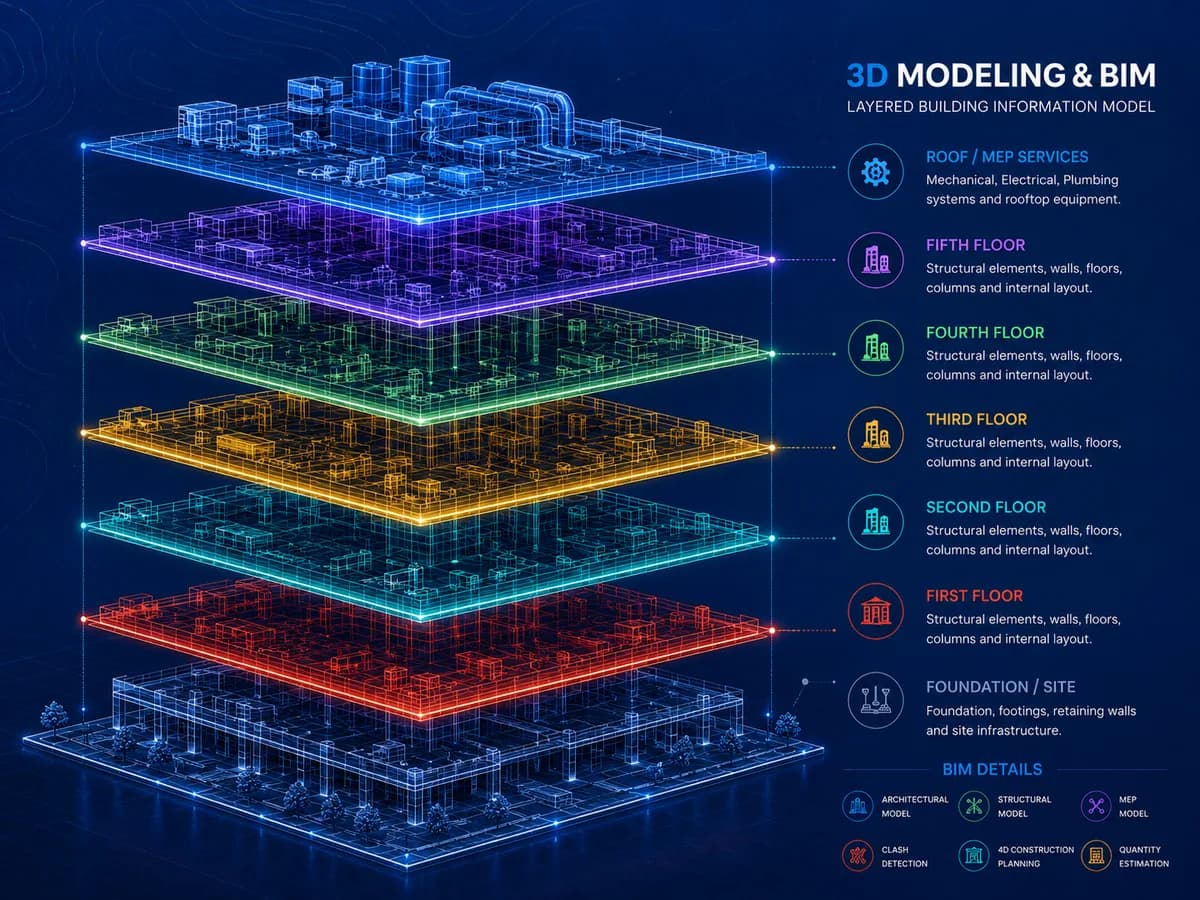
3D Modeling & BIM
Accurate, attribute-rich models of the built world.
- 3D Urban & Structural Modeling
- Accurate models of buildings and landscapes.
- CAD-to-Geodatabase Conversion
- Standardizing CAD urban planning data for integration and accessibility.
- Attribute-Enriched 3D Assets
- Metadata-rich models supporting advanced analysis and visualization.
You get
Attribute-rich 3D models, integration guide for your platform, and a model inventory index.
Frequently asked
The questions we get first
- Do you work with clients outside the US?
- Yes. Delivered projects sit across the US, UAE, Saudi Arabia, UK, India and Pakistan. Remote engagement is the default; on-site field work is scoped per project.
- What GIS platforms do you work with?
- ArcGIS Enterprise / Pro, QGIS, PostGIS, and Google Earth Engine as the primaries. We’ll deliver into your standard rather than force a switch.
- Can you work with our existing geodatabase?
- Yes. Format conversion, standardisation, and attribute enrichment against an existing schema is a common starting point rather than a blocker.
- How do you handle data confidentiality?
- Standard NDAs, isolated project environments, and deletion of client data on request after handover.
- What is a typical project length?
- From two weeks for a rapid site survey to six months or more for a full utility-network mapping engagement. We’ll give you a firmer estimate after the first conversation.