Remote Sensing & LiDAR
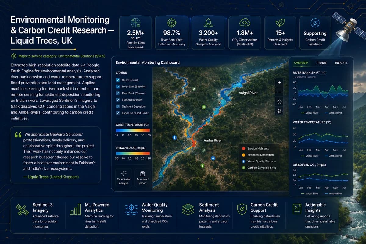
Environmental Monitoring & Carbon Credit Research
Liquid Trees · UK
Extracted high-resolution satellite data via Google Earth Engine for environmental analysis. Analyzed river bank erosion and water temperature to support flood prevention and land management. Applied machine learning for river bank shift detection and remote sensing for sediment deposition monitoring on Indian rivers. Leveraged Sentinel-3 imagery to track dissolved CO₂ concentrations in the Vaigai and Amba Rivers, contributing to carbon credit initiatives.
- Satellite data points processed
- 1.5M+
- River bank shift detection accuracy
- 98.7%
More work
Related projects
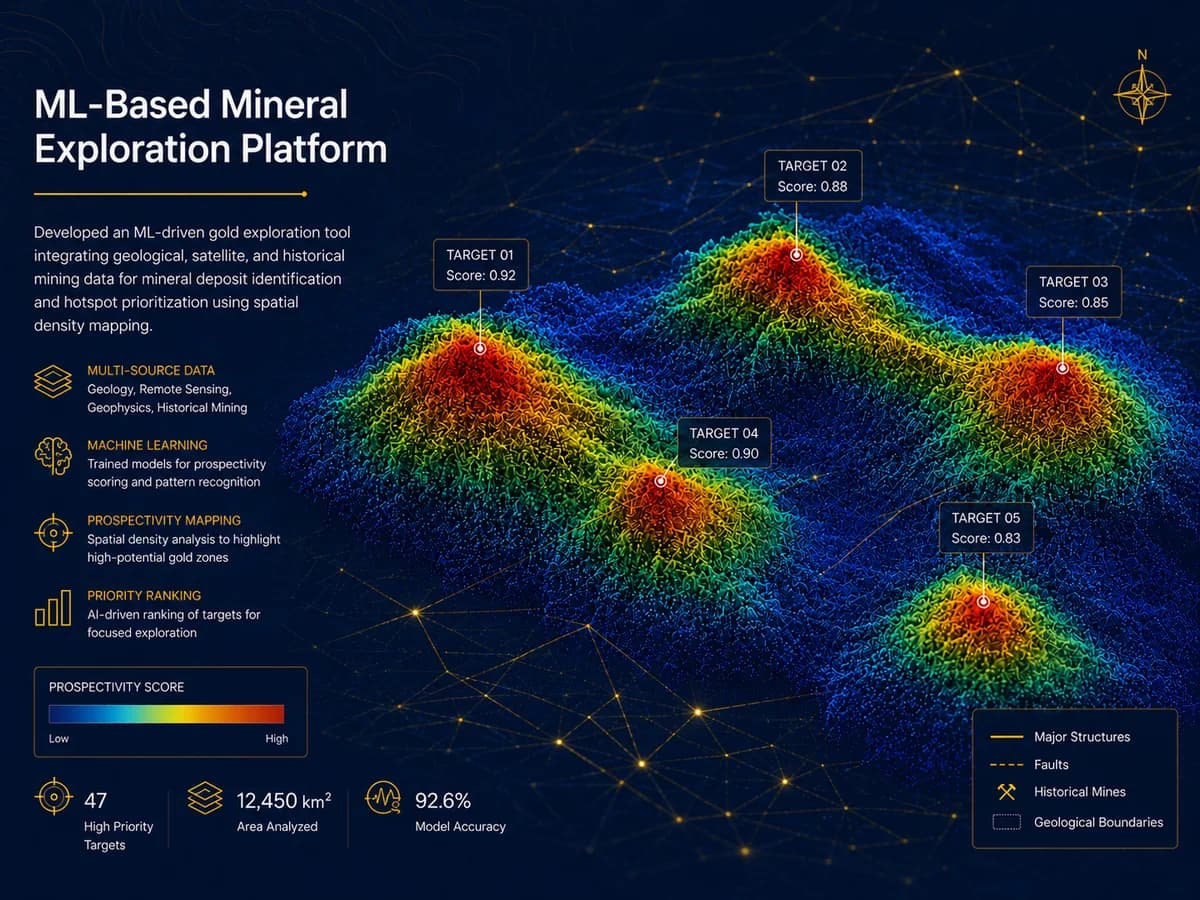
Mineral Explorer · USA
ML-Based Mineral Exploration Platform
Developed an ML-driven gold exploration tool integrating geological, satellite, and historical mining data for mineral deposit identification and hotspot prioritization using spatial density mapping.
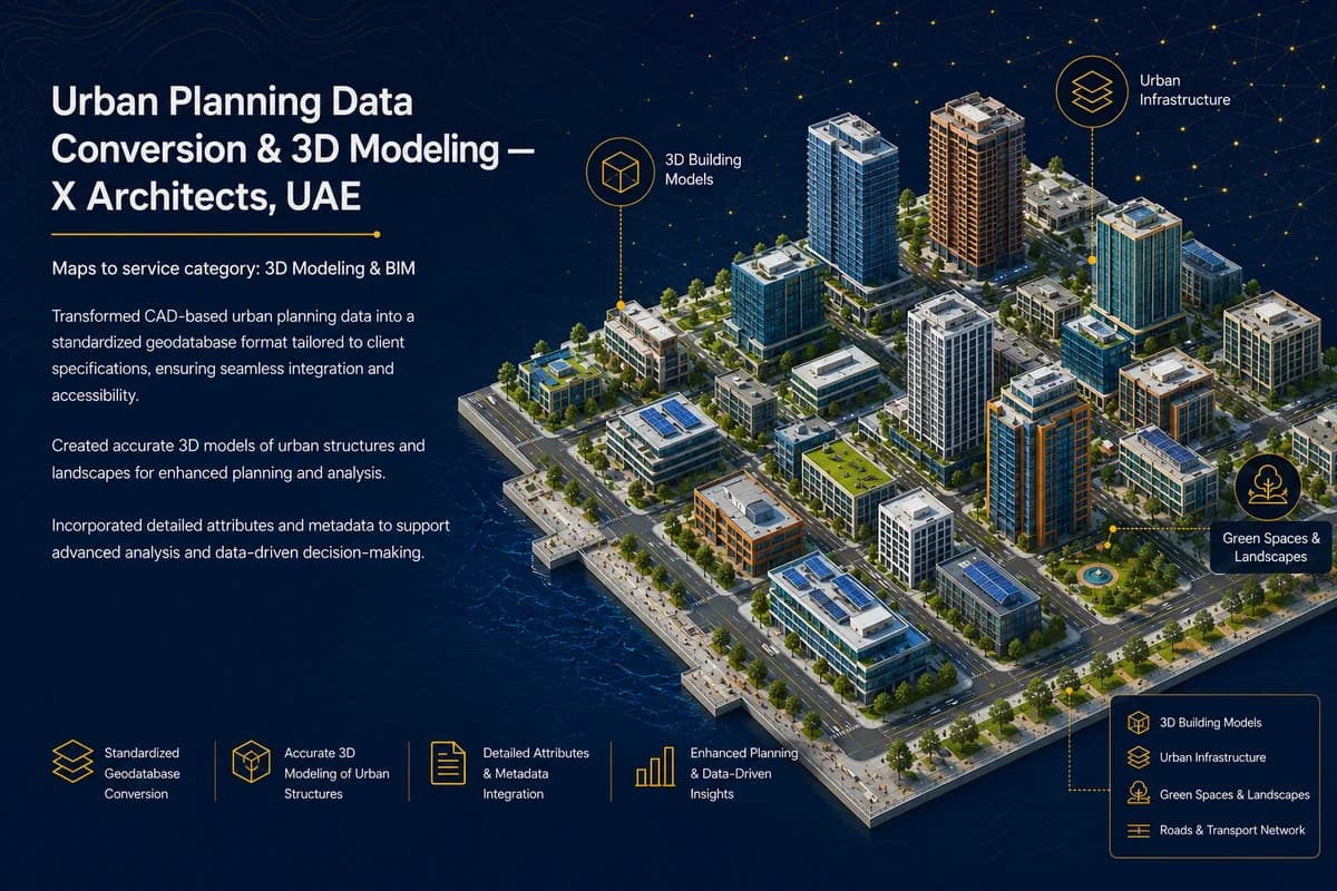
X Architects · UAE
Urban Planning Data Conversion & 3D Modeling
Transformed CAD-based urban planning data into a standardized geodatabase format tailored to client specifications, ensuring seamless integration and accessibility. Created accurate 3D models of urban structures and landscapes for enhanced planning and analysis, and incorporated detailed attributes and metadata to support advanced analysis and data-driven decision-making.