Utilities Solutions
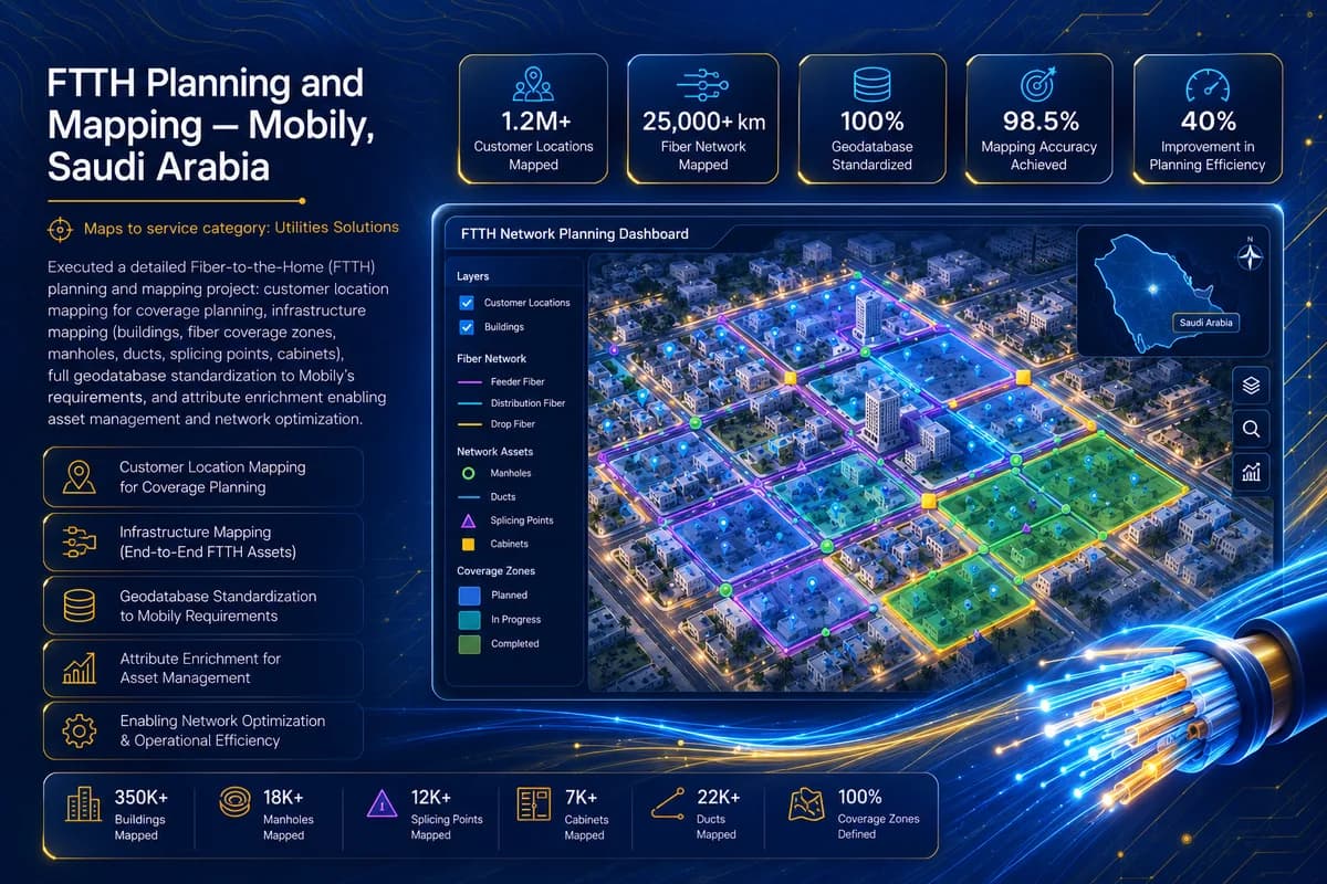
FTTH Planning and Mapping
Mobily · Saudi Arabia
Executed a detailed Fiber-to-the-Home (FTTH) planning and mapping project: customer location mapping for coverage planning, infrastructure mapping (buildings, fiber coverage zones, manholes, ducts, splicing points, cabinets), full geodatabase standardization to Mobily's requirements, and attribute enrichment enabling asset management and network optimization.
- Customer locations mapped
- 35K+
- Buildings mapped
- 28K+
- Fiber network km mapped
- 250+
More work
Related projects
Mineral Explorer · USA
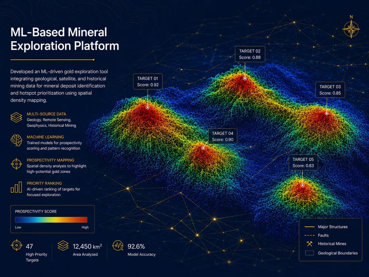
ML-Based Mineral Exploration Platform
Developed an ML-driven gold exploration tool integrating geological, satellite, and historical mining data for mineral deposit identification and hotspot prioritization using spatial density mapping.
X Architects · UAE
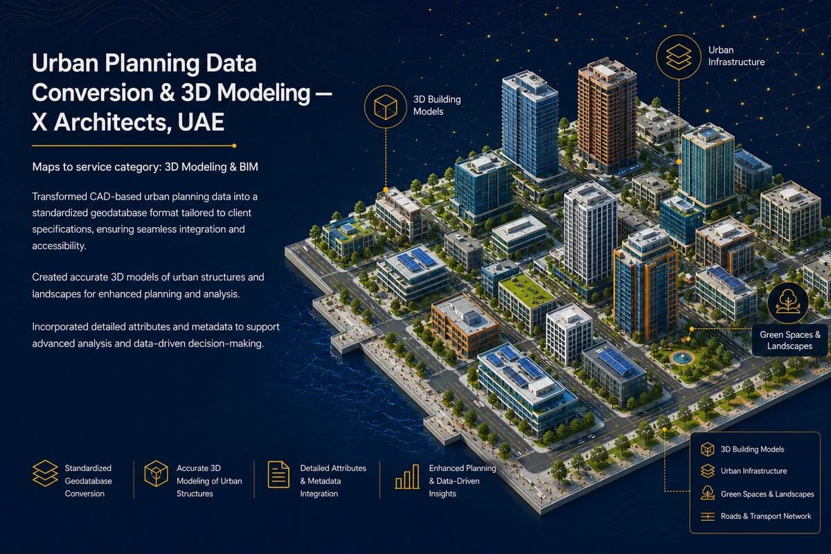
Urban Planning Data Conversion & 3D Modeling
Transformed CAD-based urban planning data into a standardized geodatabase format tailored to client specifications, ensuring seamless integration and accessibility. Created accurate 3D models of urban structures and landscapes for enhanced planning and analysis, and incorporated detailed attributes and metadata to support advanced analysis and data-driven decision-making.